This use case was organised by the National Institute of Heritage of Romania within the Centre for Comparative History of Ancient Societies (CICSA) at the University of Bucharest , Faculty of History.
The materials used in this discussion will be published in Europeana through the Europeana Archaeology project, during this year.
The discussions were focused on how archaeological landscape photography can help in various academic research, the reasons why it is currently not used so much, and how that can be improved.
For example, in one archaeological site, the aerial photos showed three ditches of different dimensions, which confirmed the excavation theory that the settlement reduced its surface, while another one showed that a complex of tells were located in a wet area, which added valued information to what we know about the settlements’ protection and nutrition.
These examples highlight the importance of landscape photography as a great tool for reviewing the information obtained about the archaeological excavations and also for a better understanding of the settlements environment and surroundings.

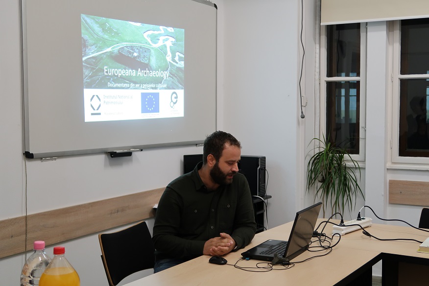
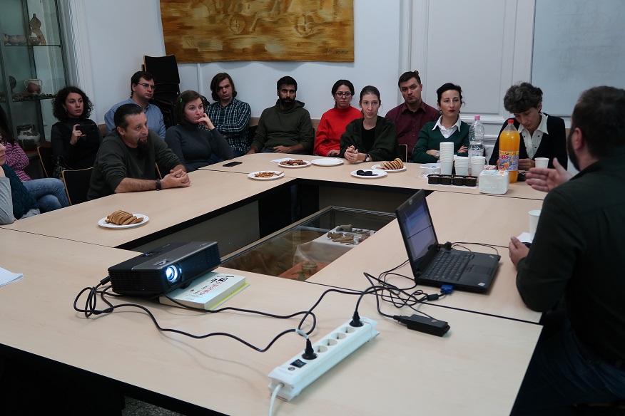
The event held as a seminar consisted in a general presentation of the project and about the content to be delivered to Europeana Archaeology, and chaired by Marius Streinu, archaeologist and office director in the Museum and Archaeology Documentation Department at the National Heritage Institute. The purpose of this seminar was to raise awareness of the archaeological landscape concept, a field that it’s not usually tackled during the courses.
Part of the presentation was dedicated to the role and importance held by Europeana and to what our project is aiming at.
The participants, mainly students and professors from the faculty, were actively interested and willing to learn more about aerial photography, in order to use it in their work. It was decided that further workshops will be useful for that matter.

by Georgiana Dinu and Mihaela Buruiană, Institutul Național al Patrimoniului

